Per usual around the end of winter break I started to get bored so that means backpacking! A few friends and I planned a mini excursion before we all headed back beginning at the eastern end of the Ventana Wilderness within Los Padres National Forest. Here is our short two day excursion.
Trip Logistics
Thankfully no permits are required at this time in the Ventana Wilderness! We just found a suitable trailhead and went for it. To start at China Campground, we had to drive twelve miles on Tassajara Road. The US Forest Service recommends a high clearance 4x4 vehicle on the road. Depending on the conditions you may need it. We did it in an old Ford Explorer with four wheel drive and had no issues. In the dry season you definitely do not need four wheel drive but a higher clearance vehicle is nice to have. We would not recommend trying this in your Honda Civic.
As for the hiking portion, we just brought our normal backpacking gear. We did bring one bear canister for the three of us as hanging food is a pain and quite frankly we are all too lazy to do it.
Trip Statistics
2 days
16.4 miles
5600 ft of elevation gain
Map
Conditions and Closures
Trip Report
We departed the Bay Area just around 6:00 am and got to the trailhead by 9:00 am. Thankfully despite some previous rain there was almost no mud on Tassajara Road which made the drive in fairly seamless. When we arrived there were two cars parked at the trailhead but not a person in sight. We got our gear together and headed out.
 |
| The parking area. When you drive in the parking will be on the left. |
 |
| Looking the opposite way, the trailhead is here on the right. |
We started the first climb up slowly. It had been a while since any of us had gone backpacking but we soon found our pace.
 |
| The views off to the right of the trail. |
Eventually we topped out and continued on along the ridge. The trail was a little overgrown, as always in the Ventana Wilderness, but nothing really impeded our progress. Long pants were definitely nice though.
 |
| Views of the Santa Lucia Range |
 |
| Making our way towards Pine Valley. |
|
After a little bit of descent and re-ascent we started to drop into Pine Valley. The brush was much less prevalent here, mostly around mid calf level.
 |
| Getting closer to Pine Valley |
Our descent ended at a four way intersection on a little saddle. We took a quick water and snack break and then took a right onto the Carmel River Trail.
 |
| The saddle is just ahead |
Carmel River Trail continued to descend, weaving in and out of Church Creek. Depending on how high the creek is you may have to get your feet wet but it was not an issue for us.
After walking for a quarter mile or so I started to notice that the trail was a really weird texture. It looked oddly bumpy and the brush on the side of the trail had a similar texture. I knelt down to find out that the trail was covered in lady bugs! Thousands of lady bugs were covering the trail and brush. There were so many that when we stopped walking they would start to make their ways up our pants and into our shoes. I had never seen anything like it. I wish my photos would do it justice but trust me, there were a lot of them.
 |
| Look at all of them!!! |
We continued on, running into these communities of lady bugs every quarter mile or so. Eventually we made it to Bear Basin Trail (?) but before we took it we saw a cabin through a gate to our right. The gate was just a continuation of the Carmel River Trail so we opened it up and took a look. It appeared to be in great condition and seems as if there are still people who come out and use it.
After bumming around for a bit we decided to get back to hiking and continue on our journey. Once we got back to the trail intersection we realized there was no great way to get across the river. One of my friends decided to just jump the gap, which he did like a badass, but myself and my other friend looked for a better way. We found a huge tree that spanned the creek and made our way across.
 |
| Balance is key to not getting wet. |
 |
| We made it across, just keep heading straight. |
After making it across, the path had mostly disappeared. Thankfully we just continued forward and saw a huge metal sign that pointed us in the correct direction. The trail definitely was faint but still there. This is where all the fun began.
 |
| The not so obvious trail |
 |
| A little loose in some spots |
We began our ascent, following the very faint trail. Maybe with less leaves it would be more obvious but at no point did we feel lost or out of place. The steep grade eventually lessens but we were rewarded with horrendous and disgusting bushwhacking.
Was the trail technically passable?
Yes.
Did we end up having to crawl on our hands and knees?
Also yes.
Did we have a good time doing so?
No, but it made for a good story and our arms looked kinda cool after being scraped up by all the brush.
So if you like to enjoy your backpacking trip, maybe not the best trail to take.
 |
| Not exactly what we expected. |
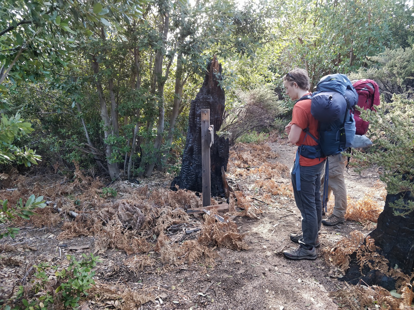
Eventually there was a respite from the chaos, a slight clear spot with a huge burnt out log. We originally were trying to go down to Bear Basin Campground but the trail heading down did not really look like a trail so we took a left thinking that it was the true trail. It was not the trail we wanted, it was the connector trail that brought us to Pine Ridge Trail. Rather than re experience that wonderful brush, we opted to continue upwards on Pine Ridge Trail towards our campground.
 |
| The sign at the trail intersection. We took a right. |
Pine Ridge Trail was much better. Occasionally we had to fend off brush but it was never too painful. At no point did we crawl from here on out.
 |
| Some snow on the trail |
We continued upward, eventually making it to a saddle(assuming it was Pine Ridge) where we followed Pine Ridge Trail downwards. We passed Black Cone Trail which was on our left. The sign had been damaged so keep that in mind if you are looking for it.
 |
| Rest in many pieces trail marker. Black Cone Trail is on the left |
 |
| Descending Pine Ridge Trail. |
From there we continued until we reached the sign to turn off to Pine Ridge Campground. The trail to camp was well marked with a metal sign and we had to hike about another quarter mile to get there.
Once we arrived we dropped our gear and refilled our water at the spring behind the campground. Follow one of the small use trails stemming from the fire ring and you'll easily find the stream.
 |
| Us bumming around behind the campsite. |
I really should have taken a picture of the campsite but I forgot. It was fairly nice, it had a fire ring made of rocks with a metal grill on it. You could probably fit 3 to 4 two person tents around this campground if you want but bigger tents do not work very well. We had a huge old four person tent and barely got it to fit in one of the clearings.
We walked around the campsite for a while and explored the odd rocks on the slope behind it. Once the sun started to set we ate dinner and called it a night.It dipped into the low/mid 30s that night which we were not really expecting.
The next morning we are up around 7:00 am determined to get to it. After eating, getting water, and breaking camp we were on the trail by 9:00 am.
 |
| We were all very excited to be up |
From here we just reversed our steps. We headed back up Pine Ridge Trail, hit the saddle, and then began to descend again.
Eventually we ran into the connector trail that we had come up the day prior. We opted to continue on Pine Ridge Trail for our descent in hopes to avoid crazy bushwhacking. This was the correct decision.
Our descent was almost completely seamless, there was some brush on the trail but not too much. Eventually we did run into a completely downed tree though. Being three strapping young lads and only seeing about a quarter of the tree, we thought that we would be able to lift it off the trail and save everyone else some time and bushwhacking.
Lifting it as high as we could and it still not budging, we gave up and decided to just trudge through the dead-fall. After making it to the other side we found out the tree was actually huge and extended way beyond where we thought it ended. Unless we had a chainsaw, that tree was not going to budge.
 |
| The part of the downed tree we could see |
 |
| Us trying our best to get through |
From there it was easy going, we descended past Divide Campground and eventually got back to the saddle where we turned onto the Carmel River Trail. We just continued straight on Pine Ridge Trail and retraced our steps back to the car. We saw about six others on this section of trail, not surprising as it was now Saturday.
After getting back to the car we ate the chocolate that we had accidentally left and chowed down on other snacks to stave us over until we got back to civilization. We left the trail by 3pm and were back in the bay by around 7:00pm after a quick burrito stop in Santa Cruz.
Overall, a mostly fun trip. In retrospect we would have avoided the whole bushwhacking situation and maybe if we had more time spent an extra day and made it a loop. The campground was really nice though so if you are looking for a quick excursion, Pine Ridge Campground is a nice destination.
As always it was a good time in the Ventana Wilderness, try and get out there if you can!
Happy hiking!
-m


Comments
Post a Comment